Oʻahu modeling study: flood-only maps miss 62–73% of at-risk area below 1.2 m of sea-level rise
A hazard-modeling study of Oʻahu, Hawaii, found that adding wave flooding and erosion to passive flooding reveals far more exposed buildings, roads and sewage systems.
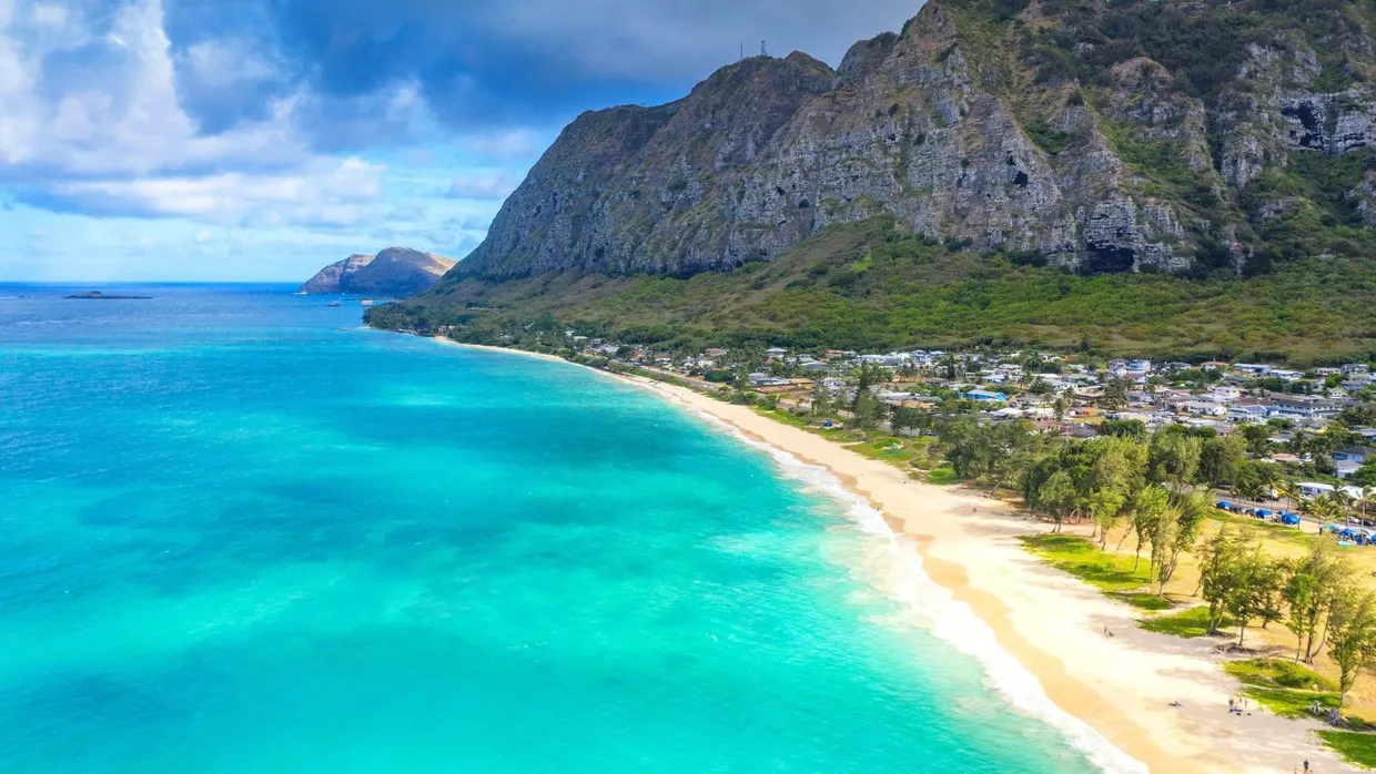
Researchers at the University of Hawaiʻi at Mānoa, led by graduate student Anna Mikkelsen, assessed how sea-level rise (SLR) would affect buildings, roads, wastewater systems, parks and essential services across Oʻahu. According to the paper in Environmental Research Climate, assessments based on passive flooding alone omit 62%–73% of the impacted area at SLR below 1.2 m, compared with assessments that also include erosion and wave-driven flooding iop.org
Environmental Research Climateiop.orgOpen source ↗. The work estimates exposure, not actual damage.
The team combined three hazard maps: passive flooding, coastal erosion and wave-driven flooding. Under the intermediate and intermediate-high SLR scenarios, these were overlaid on records of buildings, roads, schools and wastewater infrastructure. Per the coverage of the study, the erosion model covered 9,523 survey lines around the island, and the analysis assumed no new defenses and no movement of buildings or residents between 2022 and 2150.
A threshold between 0.9 and 1.2 m
The authors found a threshold between 0.9 and 1.2 m of SLR, reached in 2073–2102 depending on the scenario. It marks a transition from localized disruptions to widespread infrastructure failure. By mid-century, 1,200 buildings and more than 6,000 residents may be affected. By the end of the century, 58,000 residents, 200 km of roads, seven schools and wastewater infrastructure are affected.
The study also reports that exposure already exists: in 2022, 544 buildings housing about 2,700 residents lay within zones exposed to erosion, high tides or yearly high waves.
Uneven effects across communities
Urban Honolulu has the highest absolute impacts to residents and buildings. Rural regions, including Koʻolaupoko and the North Shore, face disproportionate impacts to wastewater systems and roads iop.org
Environmental Research Climateiop.orgOpen source ↗. In some windward communities, half of the residents live below 3 m elevation and depend on non-redundant access routes. Along northeastern Oʻahu, 32% of the coastal highway becomes impassable, and nuisance flooding increasingly affects low-lying roads in Honolulu.
Along oceanfront homes, flooding and eroded cesspools increase public health risks and limit safe ocean access.
The authors describe the results as conservative, because storm-driven flooding, groundwater rise and drainage backflow are not included. They state that adaptation planning should account for multiple coastal hazards and their uneven distribution across communities, and that the framework can be applied in other coastal regions.