University of Oklahoma leads two NASA-funded projects on satellite irrigation mapping
NASA funds two University of Oklahoma projects to build a satellite-based system for mapping irrigated land; state water agencies are the intended users.
The University of Oklahoma (OU) has announced two NASA-funded projects to improve irrigation mapping across the United States, according to a 4 November 2026 release on EurekAlert. Yanhua Xie, an assistant professor in the OU College of Atmospheric and Geographic Sciences, is principal investigator of both. Collaborators come from the Desert Research Institute, the University of Montana, and state, interstate and federal agencies. eurekalert.org
EurekAlerteurekalert.orgOpen source ↗
Why current irrigation maps fall short
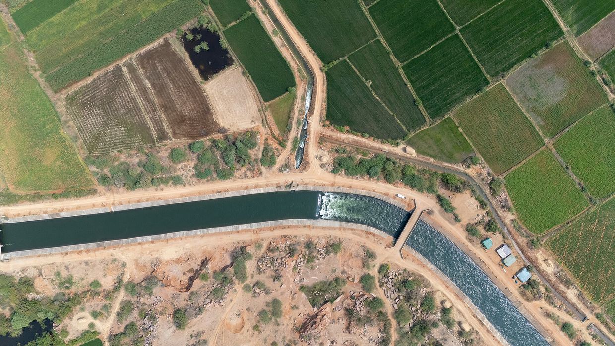
Irrigated agriculture is the largest freshwater consumer in the United States. State agencies use irrigation maps to assess water use, manage supplies and plan infrastructure investments. According to the university, these maps are often outdated, vary in accuracy and require substantial time and labor to update. eurekalert.org
EurekAlerteurekalert.orgOpen source ↗
Xie pointed to agricultural land in the Oklahoma Panhandle that depends on the Ogallala Aquifer. He said groundwater levels there have declined significantly over the past century, and that recharge would take thousands of years. eurekalert.org
EurekAlerteurekalert.orgOpen source ↗
OSIRIS and its partners
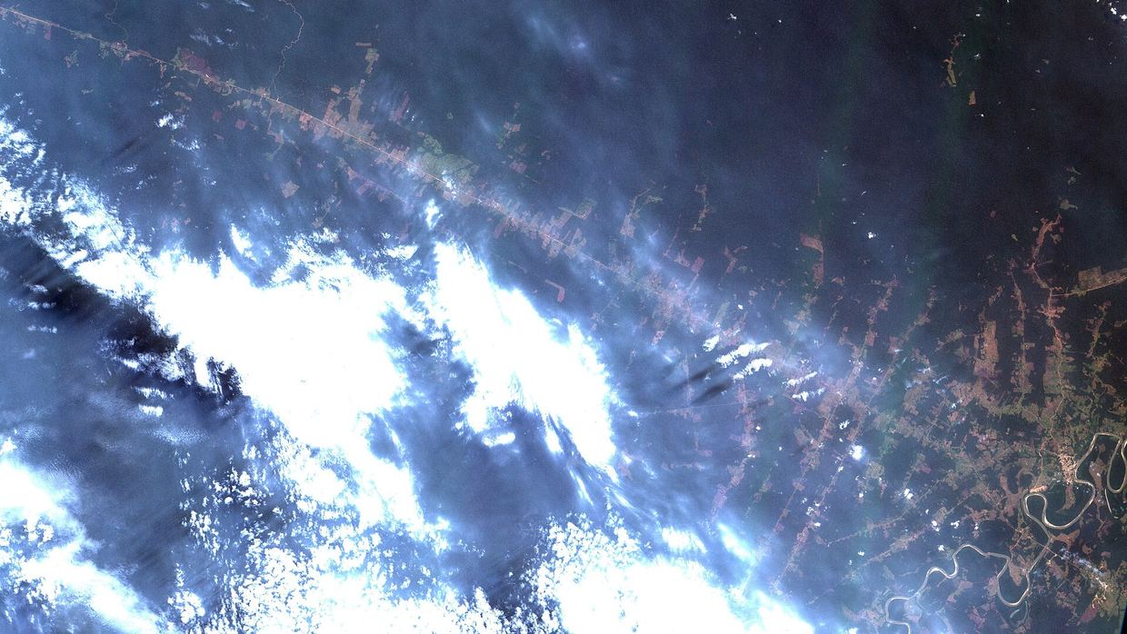
The first project aims to develop the Operational Satellite Irrigation Reporting Information System (OSIRIS). It will use publicly available satellite observations from NASA, the European Space Agency and other sources to map and monitor irrigated land across the contiguous U.S. NASA funding for OSIRIS began in August and will last three years. eurekalert.org
EurekAlerteurekalert.orgOpen source ↗
The system will support several irrigation mapping models and data inputs, including methods from the second project, which focuses on new irrigation mapping approaches built on Earth observation data. The grants are $196,051 for "Toward Next-Generation Operational Irrigation Status Mapping and Reporting for Water Resource Agency Applications" (Award No. 80NSSC26K1082) and $492,667 for the second project (Award No. 80NSSC26K0979). eurekalert.org
EurekAlerteurekalert.orgOpen source ↗
The Upper Colorado River Commission, the U.S. Geological Survey and the Bureau of Reclamation are collaborators on OSIRIS. They will contribute to development and testing, give feedback on usability and help assess long-term operational needs. eurekalert.org
EurekAlerteurekalert.orgOpen source ↗
Input from state agencies
The team has invited eight state agencies facing different water conditions. Xie said irrigation is essential for agricultural production in Idaho or Texas, while in Georgia or Alabama it may play a supplemental role. Agencies may differ in their requirements for mapping accuracy, update frequency and geographic detail. eurekalert.org
EurekAlerteurekalert.orgOpen source ↗
The first workshop with participating agencies is scheduled for next spring. The funding also supports two OU Ph.D. students, one on each project. Xie said the team hopes the data and software will eventually serve the broader scientific and operational communities. eurekalert.org
EurekAlerteurekalert.orgOpen source ↗