Mantle convection models link the Great Unconformity to continental uplift and subsidence
Models of mantle flow from 1 billion years ago predict long uplift of Laurentia, Baltica and North China, then subsidence, matching the Great Unconformity, the authors report.
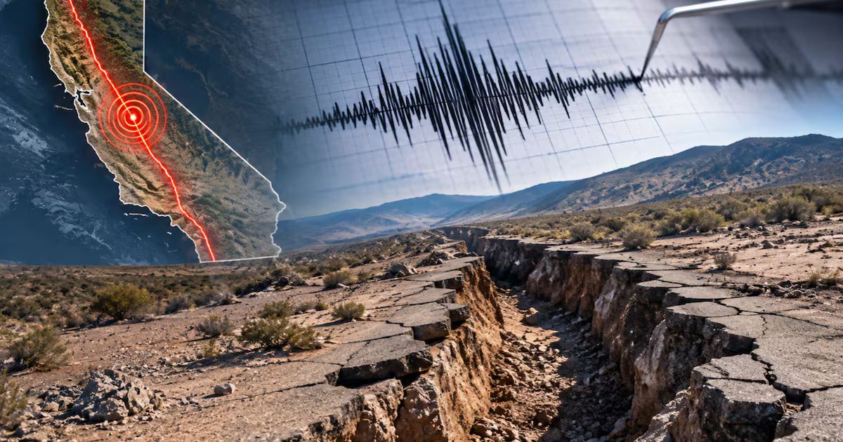
Researchers have tested the origin of the Great Unconformity, a continent-wide erosional surface that precedes the Cambrian explosion of life, using a series of mantle convection models, according to a paper in Nature. The models start from 1 billion years ago and comprise six variants, M1–M6. The authors report that continental-scale uplift and subsidence caused by dynamic topography drove the formation and preservation of the surface. doi.org
Naturedoi.orgOpen source ↗
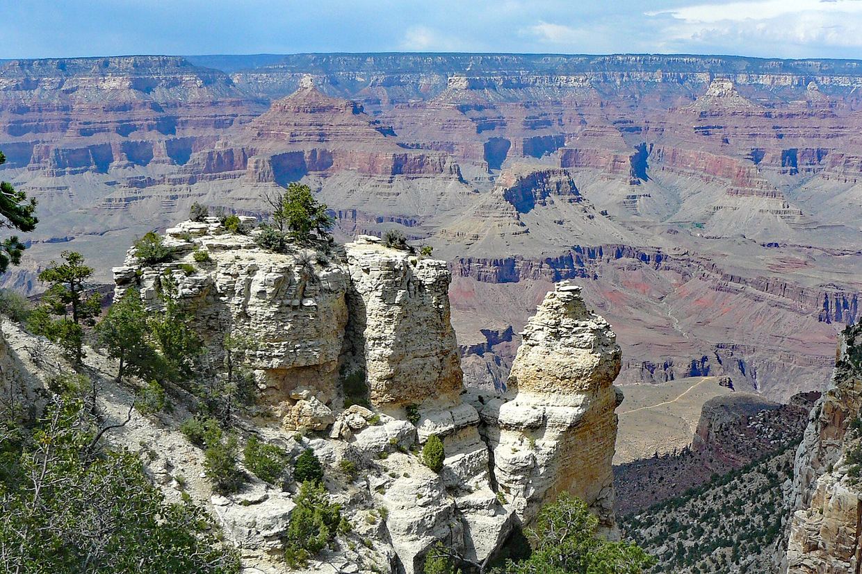
The Great Unconformity is an erosional or non-depositional hiatus of about 200 million years or longer. It was first described in the Grand Canyon and has been traced across North America, where the oldest sediments at its base are 635 to 482 million years old (Ediacaran to Early Ordovician). Similar unconformities are documented in Baltica and North China. Global sedimentary volume, estimated from geologic maps and borehole data, more than doubled across the Precambrian–Phanerozoic boundary. doi.org
Naturedoi.orgOpen source ↗
What the models predict
Proposed causes so far include glacial erosion during Snowball Earth (about 720–635 million years ago), rifting and plume activity, sea-level fall and mantle-driven dynamic topography. According to the authors, these processes had not been dynamically tested. doi.org
Naturedoi.orgOpen source ↗ The new models predict prolonged continental-scale uplift in the Neoproterozoic and long-term subsidence in the Phanerozoic for Laurentia, Baltica and North China.
doi.org
Naturedoi.orgOpen source ↗ At 640 million years ago, positive dynamic topography lay beneath Laurentia, Baltica, North China, Amazonia, Australia, the Kalahari Craton and Antarctica.
The authors state that uplift throughout the Cryogenian would have caused marked erosion by glaciers. They say the large area of Laurentia and limited deformation at its margins explain why the unconformity is best preserved and documented there. The predicted cycles of dynamic topography are broadly reflected in the volume of sediment preserved on continents. doi.org
Naturedoi.orgOpen source ↗
Model setup and limits
Dynamic topography was computed from buoyancy and viscosity variations deeper than 350 km, so shallower sources were neglected. This setup is known to overpredict the amplitude of long-wavelength dynamic topography by a factor of about 2, so the authors analysed the trend of its evolution rather than its amplitude. doi.org
Naturedoi.orgOpen source ↗
Five of the models were driven by tectonic reconstructions in a no-net-rotation reference frame; M3 used a palaeomagnetic frame. The authors checked that the big lower-mantle basal structures predicted by the models matched large low-shear velocity provinces inferred from 10 tomographic models. They also checked that reconstructed volcanic provinces lay above or close to those structures between 320 and 0 million years ago. Model M1 was preferred because its predicted structures matched in area and location. doi.org
Naturedoi.orgOpen source ↗