Met Office: stratospheric polar vortex disrupted by unusually early sudden warming at 30 km
A sudden stratospheric warming in November weakened and displaced the polar vortex; any effect on UK weather would take two to six weeks to appear.
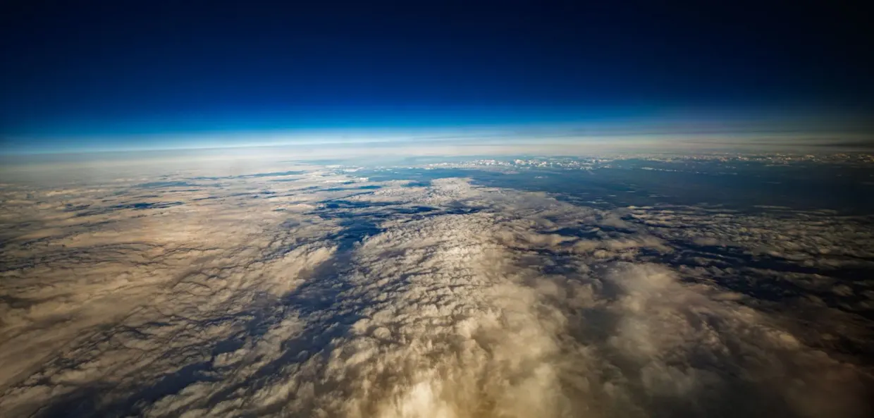
The Met Office (metoffice.gov.uk) reports that a sudden stratospheric warming (SSW) has taken place, disrupting the stratospheric polar vortex around 30 km above the surface. metoffice.gov.uk
metoffice.gov.ukmetoffice.gov.ukOpen source ↗ The event came unusually early in the season: the disruption began at the end of October and continued through November.
The Met Office stresses that the recent cold spell in northern England and southern Scotland is not a result of the SSW.
How the vortex was disrupted
During autumn and winter, extremely cold air develops high above the North Pole, and strong westerly winds circulate it, forming the stratospheric polar vortex. Large atmospheric waves can disrupt this circulation, so that the winds weaken significantly or even reverse direction. Stratospheric temperatures then rise rapidly.
Towards the end of October, a strong wave two pattern squeezed and weakened the vortex. In November a wave one event followed, which appears to have pushed the vortex further and displaced it away from the North Pole. metoffice.gov.uk
metoffice.gov.ukmetoffice.gov.ukOpen source ↗
Analysis using ECMWF reanalysis data, which extends back into the 1940s, shows that comparable wave two events have occurred this early in the season before, but this year's was significantly stronger. The combined strength of the wave two and the subsequent wave one was also greater than in previous examples in the analysis.
The German outlet forschung-und-wissen.de, citing NASA Ozone Watch, reports that the mean wind along 60°N at the 10 hPa level briefly turned easterly around 10-11 November. For 11 November, the comparison value for the winters 1978/79 to 2025/26 was about 29 m/s, and the previous lowest value for that date was about 11 m/s from the west.
What it means for UK weather
It usually takes around two to six weeks for changes in the stratosphere to feed down through the atmosphere and potentially influence weather near the surface, and even this is uncertain. metoffice.gov.uk
metoffice.gov.ukmetoffice.gov.ukOpen source ↗ The Met Office describes the SSW as a shift in chances rather than a guaranteed cold spell, and notes that cold weather does not make snow inevitable.
For now, the jet stream remains strong and displaced to the south of the UK, leaving the country mostly on its colder side. Temperatures on Friday night into Saturday could fall to around -8°C or -9°C in places.
The polar vortex is beginning to recover, with its westerly winds strengthening again. Some longer-range forecast runs suggest the winds could weaken again later in December, but this remains a significant uncertainty. The Met Office says it will continue to monitor how the atmosphere responds.