UC Irvine and NASA JPL model: Thwaites Glacier could add up to 30 mm to sea level by 2100
A model from UC Irvine and NASA JPL that accounts for a broad grounding zone gives twice the earlier estimate of sea-level rise from Thwaites Glacier by 2100.
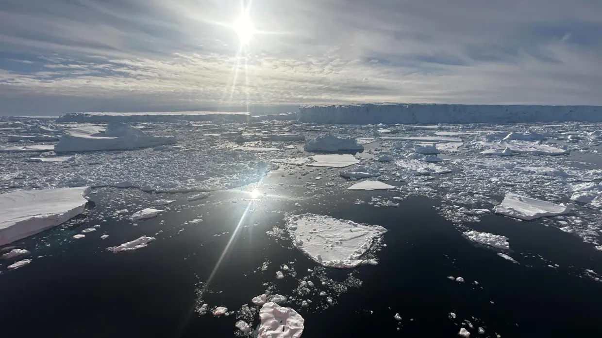
Researchers at the University of California, Irvine and NASA's Jet Propulsion Laboratory have built a computer model of Thwaites Glacier in West Antarctica, sciencedaily.com reports. According to the model, melting of the glacier could raise global sea level by as much as 30 millimeters by 2100. That is double earlier projections, even without additional climate warming sciencedaily.com
sciencedaily.comsciencedaily.comOpen source ↗. The results were published in Nature Communications.
The authors replaced the narrow grounding line with a broad grounding zone, where ocean water reaches beneath the ice. With this change the model reproduced changes at Thwaites from the 1990s to the present that were four times more pronounced than those in conventional models.
Seawater beneath grounded ice
Lead author Mattia Poinelli said that satellite observations show a grounding zone, sometimes kilometers wide, where warm ocean water reaches deep under the ice and causes vigorous melting. Thwaites lies in the Amundsen Sea Embayment, which accounts for about one third of the total mass loss of the Antarctic Ice Sheet. The glacier has thinned and retreated rapidly, and its ice flows faster, but traditional models struggled to reproduce the acceleration seen by satellites.
The team compared its simulations with more than two decades of observations. It also analyzed synthetic aperture radar measurements from Finland's ICEYE satellite constellation, which showed fluctuations across several kilometers of the grounding zone along the glacier's main trunk. According to the satellite data, seawater travels several kilometers beneath ice that is still grounded on the seafloor. As tides rise and fall, the water lifts the ice and repeatedly exposes its underside to warm, pressurized seawater sciencedaily.com
sciencedaily.comsciencedaily.comOpen source ↗. The water reaches the Antarctic coast through ocean currents altered by climate change.
Mouginot Ridge and glacier retreat
Poinelli said that the movement of water weakens the glacier's connection to underwater ridges that help hold it in place. The main trunk is temporarily stabilized by the Mouginot Ridge. Once the ridge is unpinned, the glacier will keep retreating across a predominantly retrograde seafloor toward the next topographic high, the South Ridge.
With a grounding zone 4 to 6 kilometers across, the model gives a 60% probability that Thwaites detaches from the Mouginot Ridge by the end of the century.
Co-author Eric Rignot, professor of Earth system science at UC Irvine, said that most earlier projections could not match the rate of mass loss because of missing physics. According to him, the new model with more complete physics matches the observational record and gives projections twice as large as before sciencedaily.com
sciencedaily.comsciencedaily.comOpen source ↗. The work was published in Nature Communications, 2026, DOI 10.1038/s41467-026-77976-1.