Virginia Tech and USGS: satellite radar shows US East Coast cities sinking up to 5 mm per year
Satellite radar maps show large parts of the US East Coast sinking at least 2 mm per year, and in the worst areas faster than the 4 mm annual rise of global sea level.
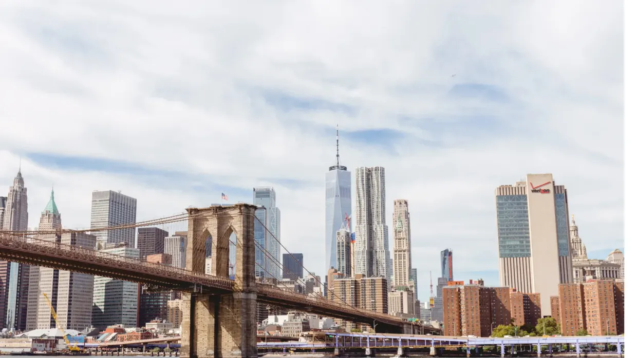
Major cities on the U.S. Atlantic coast are sinking, in some cases by as much as 5 mm per year, according to new research from Virginia Tech and the U.S. Geological Survey (USGS), reported by news.vt.edu vt.edu
news.vt.edunews.vt.eduOpen source ↗. That is faster than the current global sea level rise of 4 mm per year. The study was published on Jan. 2 in PNAS Nexus under the title "Slowly but surely: Exposure of communities and infrastructure to subsidence on the US east coast".
New York City and Long Island, Baltimore, Virginia Beach and Norfolk have areas of rapid subsidence next to more slowly sinking or relatively stable ground. According to the study, this raises the risk to roadways, runways, building foundations, rail lines and pipelines.
Satellite radar maps of subsidence
The team of Associate Professor Manoochehr Shirzaei at Virginia Tech's Earth Observation and Innovation Lab compiled a large set of measurements from space-based radar satellites. Using publicly available imagery, Shirzaei and graduate student Leonard Ohenhen measured millions of occurrences of land subsidence over multiple years and built high-resolution digital terrain maps. The authors assessed which areas, populations and critical infrastructure within 100 km of the coast are at risk.
The maps show that a large area of the East Coast is sinking at least 2 mm per year. Several areas along the mid-Atlantic coast, up to 3700 square kilometers (more than 1400 square miles), are sinking by more than 5 mm per year vt.edu
news.vt.edunews.vt.eduOpen source ↗. Shirzaei said that subsidence of 2 mm per year affects more than 2 million people on the East Coast.
Infrastructure in the sinking zones
In several East Coast cities, roads, railways, airports and levees are exposed to differing subsidence rates. Ohenhen said the problem is that hotspots of sinking land coincide with population and infrastructure hubs. In New York, significant areas of critical infrastructure, including JFK and LaGuardia airports with their runways and the railway systems, are affected by rates exceeding 2 mm per year. He named potential damage to infrastructure and increased flood risk as the effects.
Subsidence can undermine building foundations, damage roads, gas and water lines, cause building collapse and exacerbate coastal flooding, especially together with sea level rise caused by climate change. USGS research geologist Patrick Barnard, a co-author of the study, said that no one else provides this information.