Tree-LiMS: UAV LiDAR and multispectral dataset covers 108 individual beech trees in Italy
An open dataset from Alpe di Catenaia tracks crown structure and phenology of 108 European beech trees under two management regimes, tree by tree.
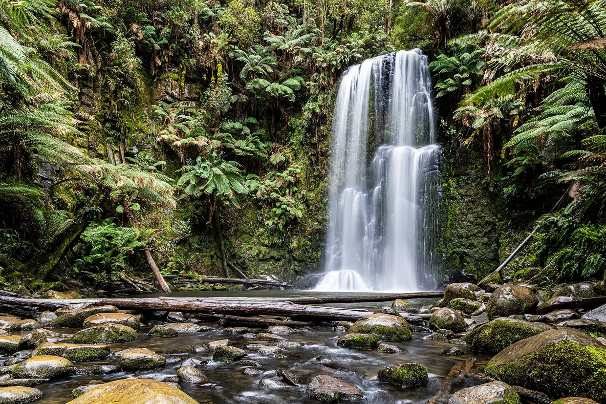
The Tree-LiMS dataset, described in Annals of Forest Science, contains multi-temporal UAV LiDAR and multispectral data on individual European beech (Fagus sylvatica L.) trees at Alpe di Catenaia, province of Arezzo, central Italy. It tracks architectural and phenological changes of 108 trees under different forest management regimes. The data are openly available on Zenodo with a standardised metadata file biomedcentral.com
Annals of Forest Sciencebiomedcentral.comOpen source ↗.
The work covers two plots in beech stands being converted from coppice to high forest. Plot DIR (4,000 m²) is managed by traditional thinning and has a higher tree density. Plot SEM (14,000 m²) is a naturally regenerated stand with lower density and larger crowns. In each plot 54 trees were analysed.
Survey and processing
Laser scanning was done with a DJI Matrice 350 carrying a Zenmuse L1 sensor: 450 m range at 80% reflectivity, 240,000 points per second in single-return mode, ranging accuracy 3 cm at 100 m. Multispectral imaging used a DJI Mavic 3M with an RGB camera and four 5-megapixel multispectral cameras (green 560 ± 16 nm, red 650 ± 16 nm, red-edge and near-infrared). Flights were at about 55 m above the terrain model at 13 km/h, giving a mean LiDAR density of 1,500 points per m². They took place between 10:00 and 12:00 in clear, windless weather.
Point clouds were processed in DJI Terra 4.1.0, and individual trees were segmented in Trimble RealWorks. Projected crown area and crown volume were derived from convex hulls with the lidR package. Five vegetation indices were calculated: NDVI, Green NDVI, Normalized Difference Red-Edge Index, Leaf Chlorophyll Index and OSAVI. Pixel values were taken from a 400-pixel core area defined by the leaf-off crown shape of April 8, 2024 biomedcentral.com
Annals of Forest Sciencebiomedcentral.comOpen source ↗.
Contents and validation
Structural attributes are stored in an R tibble named PlantArchTraits. It lists tree height, crown base height, projected crown area, crown volume, height skewness of the point cloud and the height of maximum point density. It also holds leaf area density profiles in 1 m layers and plant area index values.
Validation showed tree height stable between leaf-off and leaf-on surveys, with an error of about 0.3 m. Trees in DIR were about 0.5 m shorter than in SEM, which matched field inventory records. Crown projection and volume rose moderately in summer, consistent with leaf expansion.
The site has a mean annual temperature of 9.2 °C. Monthly precipitation peaks in November at 165.1 mm and is lowest in July at 48.9 mm biomedcentral.com
Annals of Forest Sciencebiomedcentral.comOpen source ↗.