Neubauer and Harzhauser map where to dig for shallow-sea fossils spanning 540 million years
Two paleontologists built a world map of 540 million years of shallow seas, marking regions with few known fossils and rocks of suitable age still exposed.
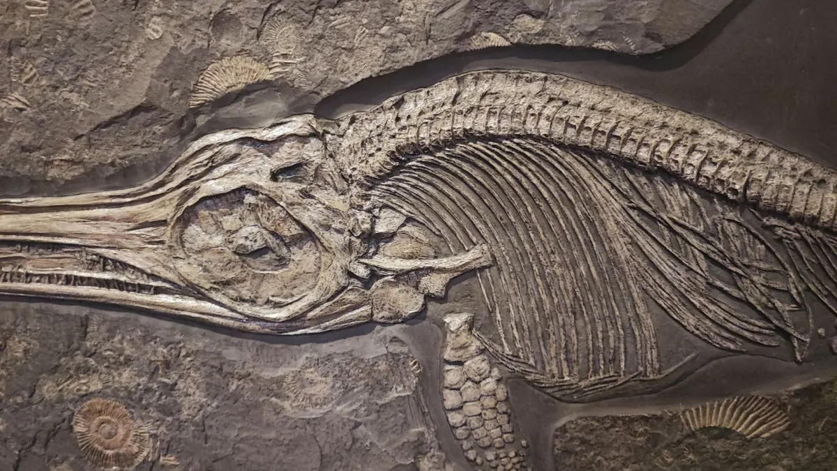
Paleontologists Thomas A. Neubauer of the Bavarian State Collections of Natural Sciences and Mathias Harzhauser of the Natural History Museum Vienna have compiled a world map covering 540 million years. It shows where it is worth excavating for fossils of animals that lived in shallow seas, according to marca.com, which cites a study published in Science Advances. marca.com
marca.commarca.comOpen source ↗
How the fossil map was built
The study starts from a question: if few fossils have been found in a region, does that mean few animals lived there? A shell may disintegrate before burial, but it may also survive in a rock layer that researchers have barely explored.
The authors reconstructed the extent of ancient seas and placed documented finds on those maps. They then consulted current geological maps to locate terrains where two clues coincide: few fossils are known, and rocks of the right age remain.
Where the gaps are
Among the terrains with the greatest potential are those formed in the early Miocene, between 23 and 16 million years ago. Unexplored areas also remain in much older rocks. For a stretch of the Cretaceous about 130 million years ago, the maps point to extensive areas of Russia and Africa. marca.com
marca.commarca.comOpen source ↗
Some of the remains of interest came to light decades ago. They were collected during expeditions and now belong to natural history collections, where specimens still await study.
If the origin and age of such specimens match one of the gaps on the map, reviewing this material could provide information on which animals inhabited that sea. For museums, the tool offers a criterion for deciding which pieces to examine first.