University of Leeds tests drones in the DOOC project to sample clouds up to 1,600 m in Yorkshire
The DOOC project measures temperature, humidity, wind and cloud particles up to 1,600 m. It is a test phase, not an operational forecasting system.
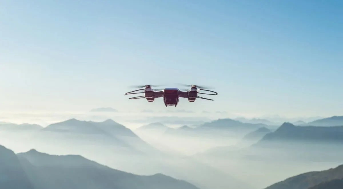
The University of Leeds leads the Drone Observation Of Clouds (DOOC) project, in which drones measure the atmosphere up to 1,600 metres. Flights run from June to November 2026 at a site in Yorkshire, UK, according to science-et-vie.com science-et-vie.com
science-et-vie.comscience-et-vie.comOpen source ↗. British researchers say an unprecedented El Niño raises the risk of storms and rain in Europe this winter.
Test flights in a 30-metre air column
The project targets clouds, the most uncertain component of weather and climate. Rain, fog, lightning, hail and extreme winds depend on them. Declan Finney (University of Leeds) and Jessica Girdwood (University of Manchester) described the approach in late October in The Conversation. They have not yet published quantitative results: this is a test phase, not an operational system.
Together with Menapia, a drone operator based in Leeds, the team obtained permission to fly in an unusually narrow air column, only 30 metres wide. Only a rotor drone that can climb perfectly vertically can use it. The aircraft records temperature, humidity, wind and cloud particles at all heights.
An onboard particle counter determines the size and concentration of droplets. Adapting it for the drone took nearly ten years, and this type of instrument was evaluated in the journal Atmospheric Measurement Techniques. The data are meant to build on progress at the Met Office, the UK weather service, whose forecasts now include much more detailed cloud physics, as set out in the Quarterly Journal of the Royal Meteorological Society science-et-vie.com
science-et-vie.comscience-et-vie.comOpen source ↗.
Hourly data and regulatory hurdles
Other teams focus on the lower atmosphere. In 2024 the World Meteorological Organization held its first demonstration of weather drones, which measured temperature and wind in the first kilometres of air. Meteorological agencies could operate networks of drone stations alongside conventional ones. The drones would take off remotely from a base, like radiosonde balloons, but could supply data every hour or more often, with less lost equipment.
Researchers in the United States say real-time pressure and wind measurements are useful and would help forecast extreme events faster. DOOC is still trying to establish whether its measurements can actually be used in forecasts.
According to the British and American researchers, one of the main difficulties is agreeing with regulators. Research drones must share the sky with conventional aviation and with commercial drones, and scientists call for investment in infrastructure and regulatory support. Energy traders already follow the subject: they need to anticipate a cloud passing over solar panels or the rise in wind output that a storm brings science-et-vie.com
science-et-vie.comscience-et-vie.comOpen source ↗.