Review: spaceborne HSRL lidar on two satellites measures plankton layers below the ocean surface
A review in The Innovation says high-spectral-resolution lidar on China's DQ-1 and Europe's EarthCARE replaces assumptions with measurement of subsurface plankton.
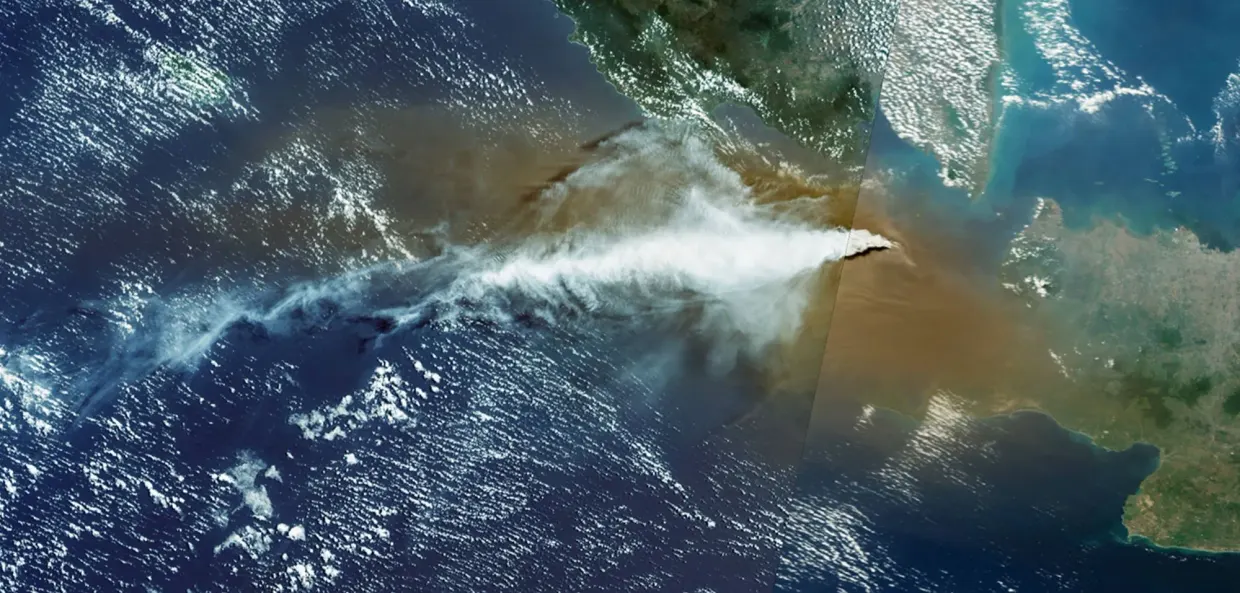
A review in The Innovation, reported by eurekalert.org, argues that high-spectral-resolution lidar (HSRL) on two satellites has turned the subsurface plankton layer from an educated guess into a measured quantity eurekalert.org
eurekalert.orgeurekalert.orgOpen source ↗. Passive ocean-colour sensors such as MODIS and PACE see only a thin surface layer, while most plankton and much of the carbon it carries downward sit deeper in the sunlit zone.
From CALIOP to the inversion problem
CALIOP, launched in 2006 to study clouds, revealed subsurface plankton layers worldwide and showed that polar blooms begin earlier in the season than believed. As an elastic lidar, it had a mathematical limitation. Its return depends on two unknowns at once: how strongly particles scatter light back and how fast water dims it. One measurement cannot fix two unknowns, so retrievals relied on assumed relationships.
ICESat-2, launched in 2018, added photon counting and 0.3 m vertical resolution. It resolved fine structure inside plankton layers and, combined with ocean-colour data, produced the first satellite chlorophyll profiles, but it did not avoid the same problem.
How HSRL separates the two unknowns
In HSRL, particle scattering barely shifts the laser's frequency, while scattering from water molecules smears it. An ultra-narrow filter, often an iodine vapour cell, splits the return into a total beam and a molecule-only beam eurekalert.org
eurekalert.orgeurekalert.orgOpen source ↗. Water's own scattering is known and stable, so the molecular channel gives the attenuation directly, and the particle term follows without assumptions.
Two missions do this from orbit. China's DQ-1, launched in April 2022, carries ACDL, the first operational spaceborne HSRL; its particle backscatter maps agree with Biogeochemical-Argo floats. Europe's EarthCARE/ATLID followed in May 2024 and works in the ultraviolet at 355 nm, whereas ACDL uses 532 nm. In ship-based comparisons, HSRL retrieved backscatter to within 10% more than five times as often as elastic lidar.
The authors describe a "virtual constellation": HSRL for vertical structure, hyperspectral imagers for surface community composition, and Argo floats profiling to 2,000 m for ground truth. Fused into models, they could constrain an "ocean digital twin", the authors say.
Limits remain. A lidar samples a one-dimensional curtain, which is hard to reconcile with two-dimensional imagery. Penetration stops at roughly two to three optical depths, so deep chlorophyll maxima in turbid water stay invisible. Validation has focused on open-ocean waters, and coastal waters are largely untested eurekalert.org
eurekalert.orgeurekalert.orgOpen source ↗. Planned missions, including CALIGOLA and China's Guanlan, target fluorescence and 100–150 m penetration.