Drone LiDAR in the Blue Mountains locates three unregistered Aboriginal rock shelters with rock art
Researchers combined UAV and aircraft LiDAR with GIS models and field survey in the Blue Mountains; the authors report it speeds up searches in rugged terrain.
Researchers from the University of Sydney and the Australian Museum, working with the Dharug Custodian Aboriginal Corporation, used LiDAR to locate Aboriginal rock shelters in the Blue Mountains of New South Wales, Australia. The results were published in October 2026 in Remote Sensing. Ground survey confirmed six known shelters and found three previously unregistered ones that preserve rock art and lithics mdpi.com
Remote Sensingmdpi.comOpen source ↗.
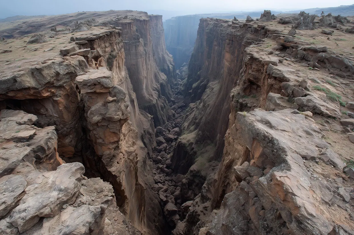
Rugged terrain and dense bushland make pedestrian surveys slow and expensive. According to archaeologist Amy Mosig Way, more than 200 rock shelters with cultural and archaeological evidence have been recorded in the region, but only an estimated 10 percent of it has been surveyed.
LiDAR, GIS and field survey
The team built models in ArcGIS Pro that analyse two kinds of data: high-resolution LiDAR collected from a UAV, and publicly available low-resolution LiDAR collected from aircraft by the New South Wales government. LiDAR uses laser pulses to build detailed three-dimensional maps of terrain, including features hidden under tree cover.
The models output locations of potential rock shelters. These can be evaluated visually in 3D point clouds and then ground-truthed through archaeological survey mdpi.com
Remote Sensingmdpi.comOpen source ↗. Field verification was carried out by teams of students and volunteers led by Way.
Results: coordinates and new sites
Ground-truthing confirmed that six known rock shelters were detected in both the UAV and the NSW LiDAR datasets. The coordinates obtained were more accurate than those listed in online databases, including the state register of Aboriginal sites.
Three previously unregistered shelters preserve rock art and lithics. The newly recorded sites include red hand stencils and stone artifacts. Rock art recording at the confirmed shelters was led by Wayne Brennan and Erin Wilkins.
The authors say the results indicate that the method can improve the spatial accuracy of legacy site records and locate unregistered rock shelters in Australia and potentially beyond mdpi.com
Remote Sensingmdpi.comOpen source ↗. The surveys are part of the Gulamada Project. The team plans to test and adapt the approach with Aboriginal communities in other environments, including the tropical savannas of western Arnhem Land and the semi-arid landscapes of western New South Wales.