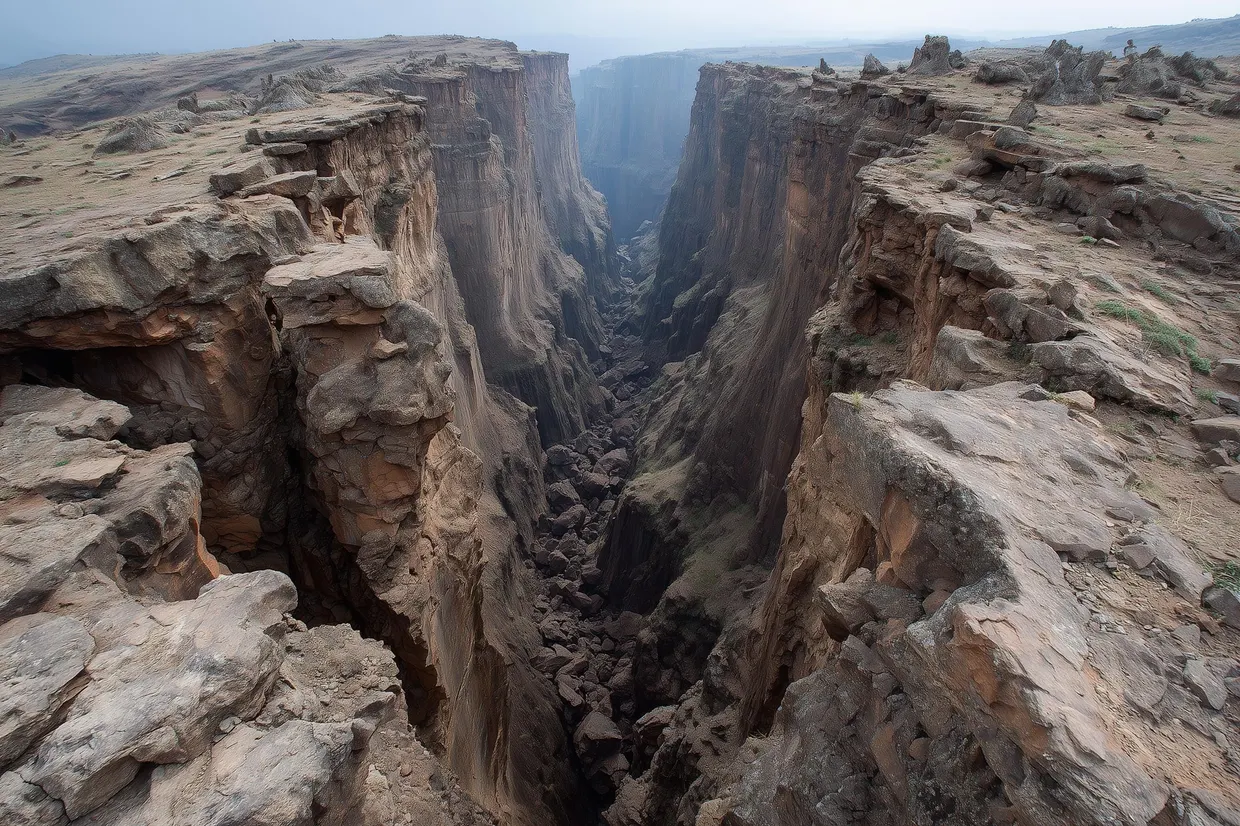
Greenland: two unstable slopes of 400 and 30 million m³ found in the Uummannaq Fjord system
Researchers documented active deformation of two newly identified slopes in West Greenland; simulations show a collapse of the larger one would send a tsunami through the whole fjord system.
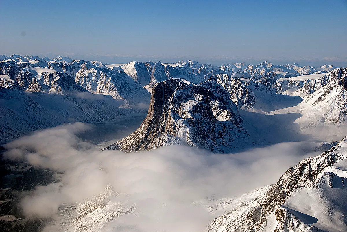
Geologist Marie Keiding and colleagues from the Geological Survey of Denmark and Greenland and the Norwegian Geotechnical Institute have described two newly identified unstable slopes in the Uummannaq Fjord system in central West Greenland. The results were published in Communications Earth & Environment. The larger slope, in Karrat Fjord, holds about 400 million m³ of material. The smaller one, in Kangerluarsuk Fjord, holds about 30 million m³ nature.com
Communications Earth & Environmentnature.comOpen source ↗.
Both slopes were found after the 2017 Karrat landslide and tsunami, which prompted closer investigation of the region. That event sent a tsunami onto the shore at the village of Nuugaatsiaq with a run-up of about 10 meters. Four residents died and nine were injured. Estimates put the rock that fell from Ummiammakku Mountain at up to 58 million m³.
Two slopes, two time scales
The Karrat slope lies about 3 kilometers west of the 2017 slide and covers 2.65 million square meters above sea level. The authors consider it one of the largest mapped active unstable slopes in the world. Its deep-seated deformation appears long-term and relatively slow, but they write that a collapse of the entire slope cannot be excluded.
The Kangerluarsuk slope is smaller but, in the authors' words, more imminent. It was barely visible before 2015 and has since developed rapidly, possibly with acceleration. The team writes that it is likely to fail in whole or in part within the next few years or decades as a translational rockslide, though the timing remains very uncertain.
Tsunami modelling and permafrost
Numerical simulations indicate that a collapse of the Karrat slope would produce a tsunami affecting the entire fjord system nature.com
Communications Earth & Environmentnature.comOpen source ↗. According to the authors, the run-up could exceed 10 meters more than 100 kilometers away. For the Kangerluarsuk slope, the estimate is a run-up of 3 to 7 meters at the settlement of Ukkusissat, about 25 kilometers away, arriving 6 minutes after the landslide.
The authors say the slopes are likely driven by permafrost degradation. They describe an emerging hazard in the Arctic that is expected to worsen with continued warming. The conclusions rest on field observations, remote sensing and numerical modelling. The authors stress the importance of monitoring and risk mitigation by local authorities in these remote, rapidly changing high-latitude environments.