Rub' al Khali survey: 55 of 125 localities had palaeolakes but no stone tools or knappable rock
A 1,500-km transect through the world's largest sand sea found lake deposits but no lithics; the authors say stone availability constrained settlement alongside water.
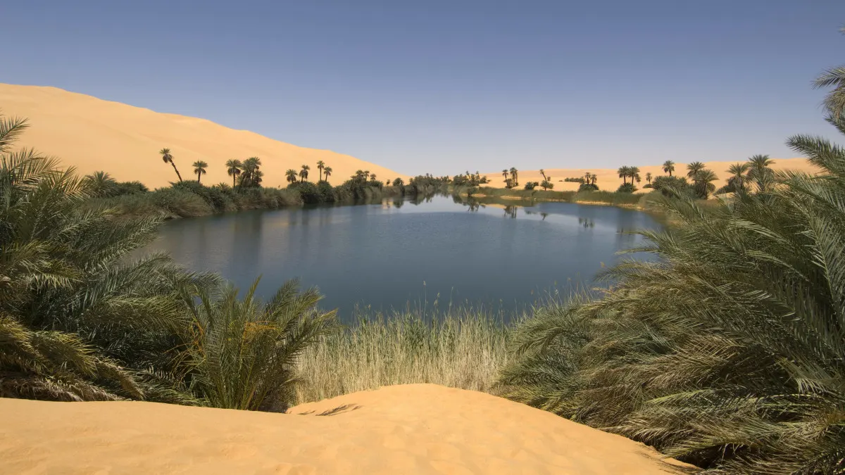
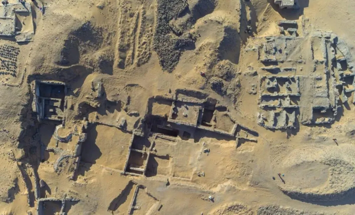
A paper on nature.com reports a geoarchaeological survey along an approximately 1,500-km transect through the Rub' al Khali of Arabia, the largest sand sea in the world. Of 125 localities investigated, palaeolake deposits were recorded at 55, yet no lithic artefacts and no knappable raw materials were found nature.com
nature.comnature.comOpen source ↗. Ground-surface visibility exceeded 95%.
The survey targeted lake deposits correlated to sections independently dated to about 122,000–67,000 years ago, a period that matches both the dated palaeolake chronologies and documented Homo sapiens dispersals into Arabia. The Rub' al Khali covers around 650,000 km² of the southern peninsula. Earlier predictive models, built on palaeohydrological and climate reconstructions, identified interior basins as high-probability zones for Middle Palaeolithic and Middle Stone Age occupation, but had not been checked against systematic ground survey in the interior. The survey therefore tested whether freshwater alone accounted for the distribution of visible occupation.
Water without stone
Dated assemblages of that age are known at the desert margins, including Mundafan, Jebel Faya, Umm al Sha'al and the Dhofar Nejd Plateau. In the interior, the nearest known knappable outcrops lie more than 200 km from the surveyed basins, so water and stone are decoupled there. Freshwater was abundant, but no trace of human occupation was found.
Peninsula-wide model
The authors built an independent spatial model, validated against 301 Middle Palaeolithic/Middle Stone Age findspots in adjacent Oman. It indicates that settlement was concentrated in zones where both water and raw materials were present nature.com
nature.comnature.comOpen source ↗. A Peninsula-wide analysis of 363 documented sites shows the same pattern.
Across the Peninsula, 57% of water-accessible terrain lies on formations that lack knappable stone. Adding raw-material availability raises the area under the curve for discriminating known site locations from 0.695 to 0.768. The authors report convergent patterns from Africa, North America and Asia and conclude that the constraint is not peculiar to Arabia. They note that dispersal models omitting raw-material geology may systematically overestimate the habitable range of populations dependent on stone tools.