Northern Arizona University maps over 10 km of Grand Canyon caves with handheld lidar, error under 0.5%
Researchers scanned three North Rim caves in 25 days and found that groundwater follows joint sets and rock dip, which links present-day flow paths to regional faulting and uplift.
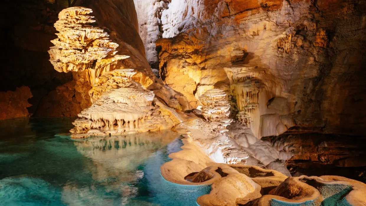
Researchers at Northern Arizona University (NAU) have mapped more than 10 km of active stream caves under the North Rim of Grand Canyon National Park with a mobile lidar system, according to a paper in Scientific Reports. nature.com
Scientific Reportsnature.comOpen source ↗ The work was led by PhD student Blase LaSala together with remote sensing professor Temuulen Sankey. The caves lie in the Redwall (Mississippian) and Muav (Cambrian) limestones. One of them, Roaring Springs Cave, is connected to Roaring Springs, the spring that has long supplied the park's drinking water.
Lidar survey of the caves
With park staff and volunteers, the team scanned Roaring Springs Cave, Muav West Cave and Redwall East Cave. The handheld scanner uses near-infrared laser light and records up to 300,000 points per second. The crews documented 10.2 km of passages in 25 days and collected centimeter-scale 3D data. The caves extend more than 1 km from their entrances and 400 m below them.
The authors report total compounding errors of less than 0.5%. In Muav West Cave the lidar map agreed 98% with a traditional survey, which covered about half the distance in the same time.
Structure and groundwater flow paths
The park has used dye tracers to establish flow paths for its springs. These point-to-point tests are hard to extrapolate over thousands of square kilometers. In earlier tests, dye dropped into surface sinkholes reached springs about 20 km away in as little as a week.
The 3D models show that geologic structures exposed in the caves are consistent across kilometers of passages. The authors conclude that groundwater exploits joint sets and the dip direction of bedding. They say this indicates that present-day flow paths in the North Rim are, in part, a product of regional faulting and uplift. nature.com
Scientific Reportsnature.comOpen source ↗ In Redwall East Cave, bubble trails and other features sit above the active stream passage. The researchers suggest that today's flow may reuse pathways carved by an older aquifer.
The authors describe karst aquifers as both vulnerable to contamination and difficult to model, because the conduit and fracture networks that define flow are complex and inaccessible. They say the lidar-derived structural data enables identification of flow patterns that traditional methods could not provide.
A new grant from Grand Canyon National Park is to extend the mapping across the park. LaSala and Sankey plan to combine airborne lidar with satellite data to map sinkholes on both sides of the canyon.